Autonomous Agricultural Navigation (AAN)
How can the ROS 2 framework be implemented to achieve autonomous navigation in several user scenarios for agricultural robots?
How can the ROS2 framework be implemented to achieve autonomous navigation in several user scenarios for agricultural robots?
Questions?
Please contact us.
dr. ir. Abeje Mersha
Saxion and Aeres are cooperating with six Dutch pioneering companies in the field of agricultural robotics. Using ROS 2, strategies and building blocks are created that can be used by the robot builders to accelerate their developments and profit from the open source community. The main research question is:
How can the ROS 2 framework be implemented to achieve autonomous navigation in several user scenarios for agricultural robots?
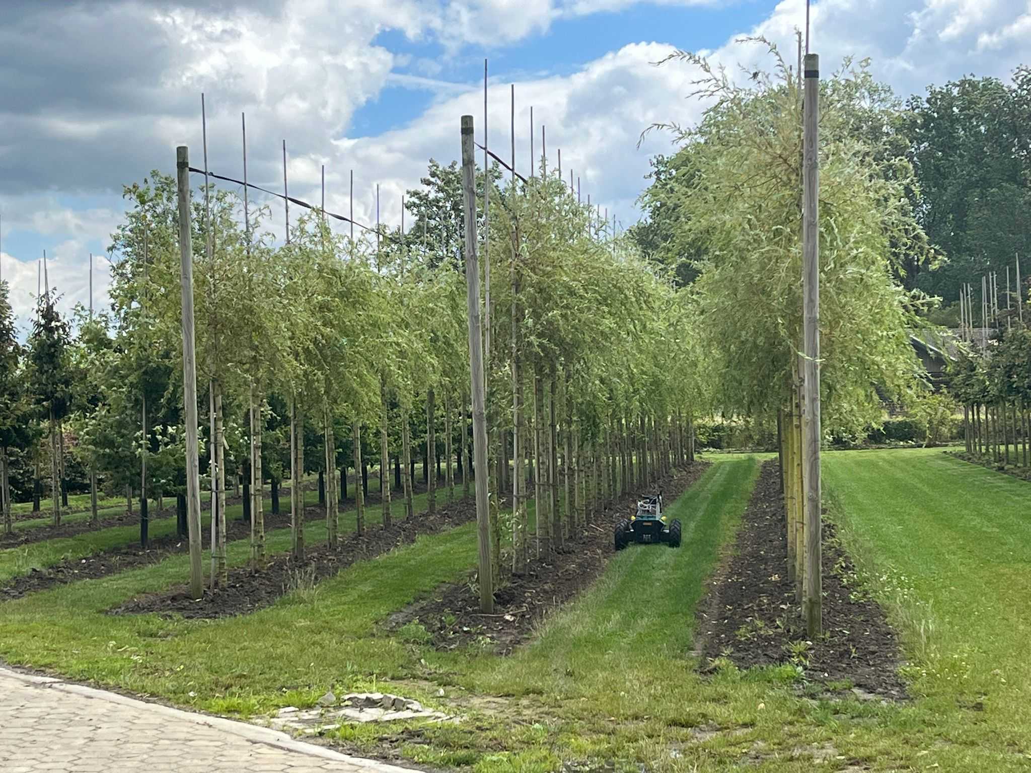
Three user scenarios are defined within this project.
- Open field navigation, which includes GNSS localization and field coverage path planning.
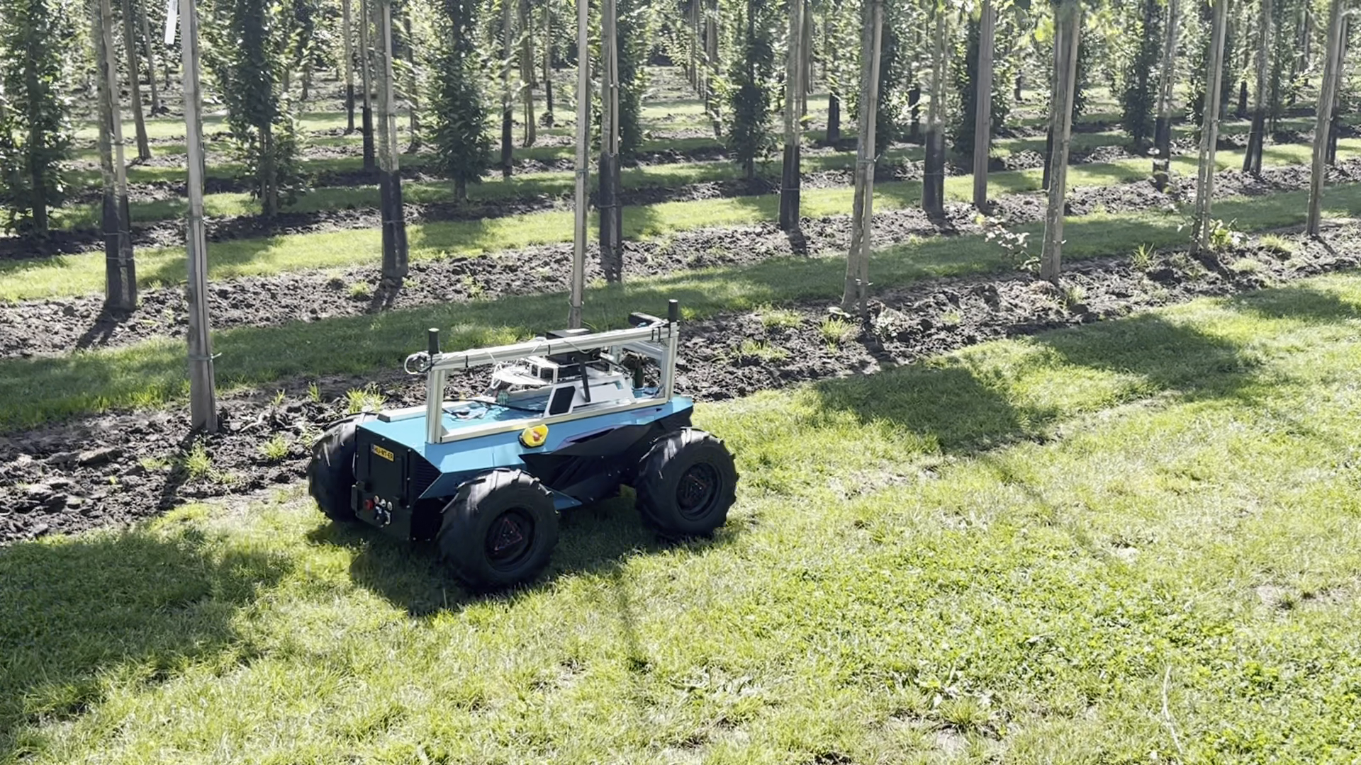
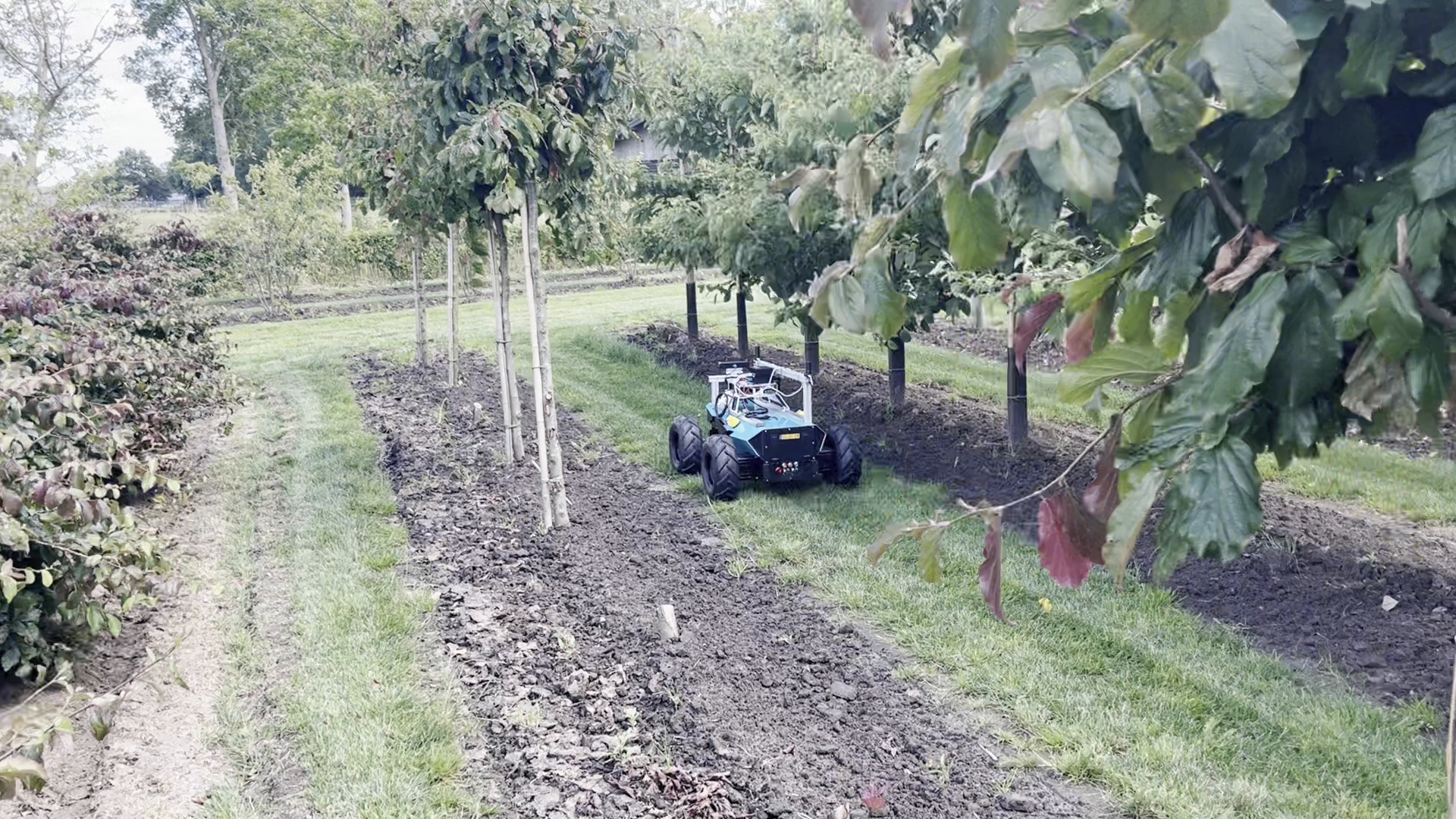
- Following a row of crops or trees, in which the robot uses relative localization inside of the row and switches to absolute localization to move to the next row.
- Precision docking, to facilitate docking onto rails or to charge batteries.
To cover the user scenarios and answer the main research question, the following topics are researched:
- Modeling and control: What are the best practices to set up a robot model and control in ROS 2? What is needed for realistic modeling and limited effort to transfer control to the real hardware?
- Localization: How can we perform sensor fusion between relative (odometry, vision based systems) and absolute (GNSS, RFID tags) localization? When do we want to switch between the two, when do we want to fuse, and on which localization methods can we rely best in agricultural scenarios?
- Navigation: How can paths be planned to fully cover fields given a set of conditions? How can the Nav2 framework of ROS 2 be used, including planning and control plugins, to facilitate open field navigation, switching between relative and absolute navigation and precision docking?
- Simulation and sharing: How can we use simulation to develop the navigation stack in ROS 2 while we make sure that the results transfer well to the robot and real world? How can we share simulations and software between partners? Can we cooperate in an online environment?
Expected outcome and results
Models for the partners’ robots, three sets of ROS 2 workshop material: modelling and simulation, control and hardware interfacing, localization and navigation, technical paper on the use of Docker for robotics, best practices example in an open source repository, test report on localization accuracy using dual RTK-GNSS and Visual Inertial Odometry (VIO), and a full demonstration of all the use cases in a simulation in the online Asimovo environment.
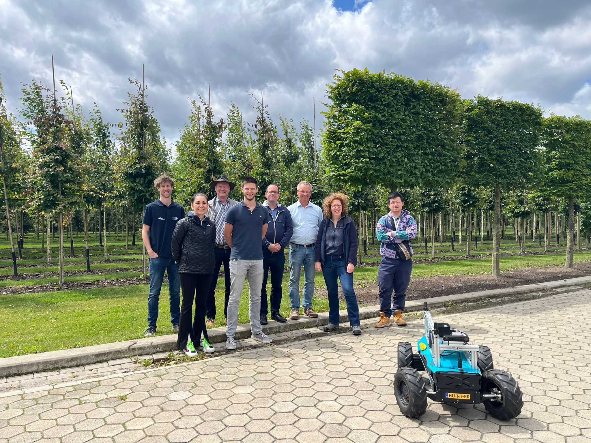
Partners


